As an exercise, I want to create the planet Earth and the Sun. I have a texture image for Earth but I can’t find a way to map it onto a sphere in SU. Is this even possible?
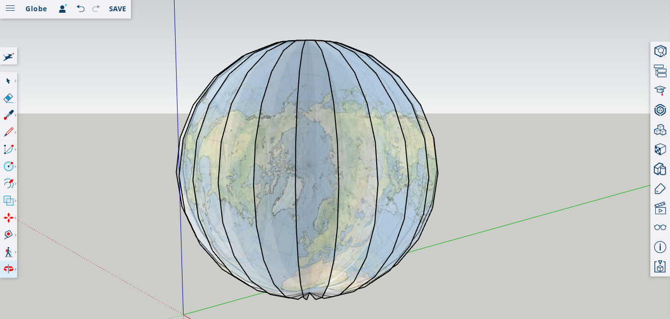
I’ve always imported the photo as an image and projected it onto a hemi-sphere:

I used 96 segments for the circles (diameter is about 100" or 250 cm). The photo was exploded and the materials eye-dropper used to capture the texture. The photo must line up with the hemi-sphere for it to project properly. [Photo courtesy of NASA]
1 Like
Here’s an old tutorial - download the resulting SKP file too. You can use that SKP and replace the mapped image with your own. In the Material dialog, click on the house icon to get a listing of images used in the model. R-click on the mapped image and choose Edit Texture Image. The image will open in the image editor you chose in SU preferrences (Window > Preferences > Applications.) Replace the image in the editor and save. OR click on the mapped image and open Entity Info panel. Click on the image in the panel to edit. Choose another texture to replace the mapped image. Done (of course you would have needed to already have added the new image to be used as a material to the model.)
And there is the world of SU plugins that will map. For example, to use UV Tools, paint a sphere > r-click > UV Tools > Spherical Map. Done. Links to planetary maps and plugins.
I created a simple plugin that allows you to wrap any supported image around a sphere. You specify the radius and which faces to map the selected image to:
The plugin can be downloaded here:
https://sites.google.com/site/spirixcode/code/spirix_textured_sphere.rbz
This has been tested with Windows SketchUp Make 2015 & 2016, but may not work on earlier versions or Macs.
1 Like
Hello! Where did you get the Earth picture? Thanks!
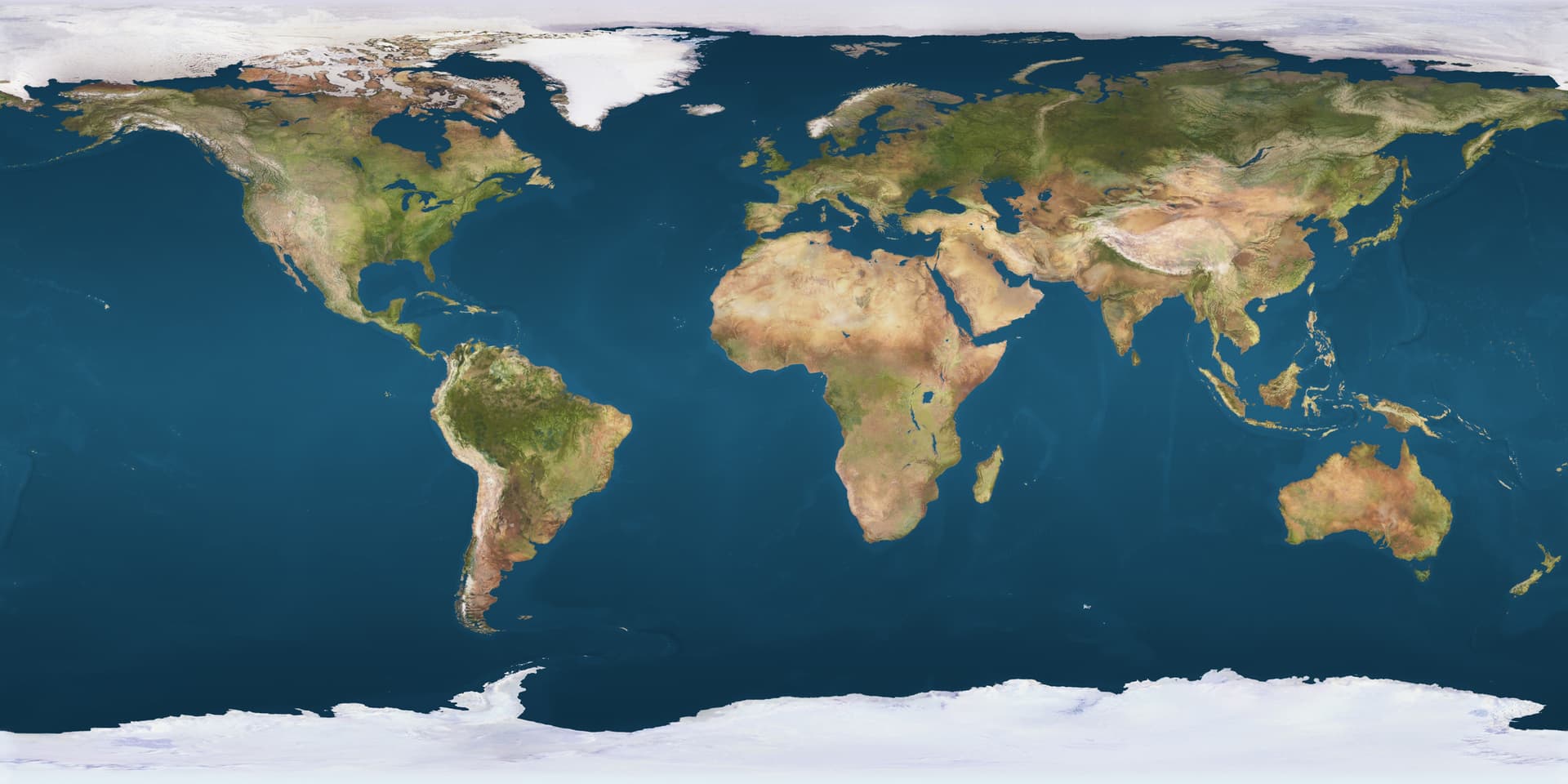

jimhami42, you showed in your video a round map of earth. When I used the rectangle map you posted and used eyedropper/fill the globe came out like the screenshot. I couldn’t open the other sphirix video. How do you make the map circular?
I have several videos. The one with the eyedropper uses a polar map, and not the spherical map in my previous post. The hemi-sphere needs to be softened before projecting the image. I hope this helps.

Offtopic: this is an interesting interactive map about the distorted size of countries because of the Mercator projection:
4 Likes