There used to be a way to import terrain data. I did this before. I cannot find this on 2021. Has it been removed ?

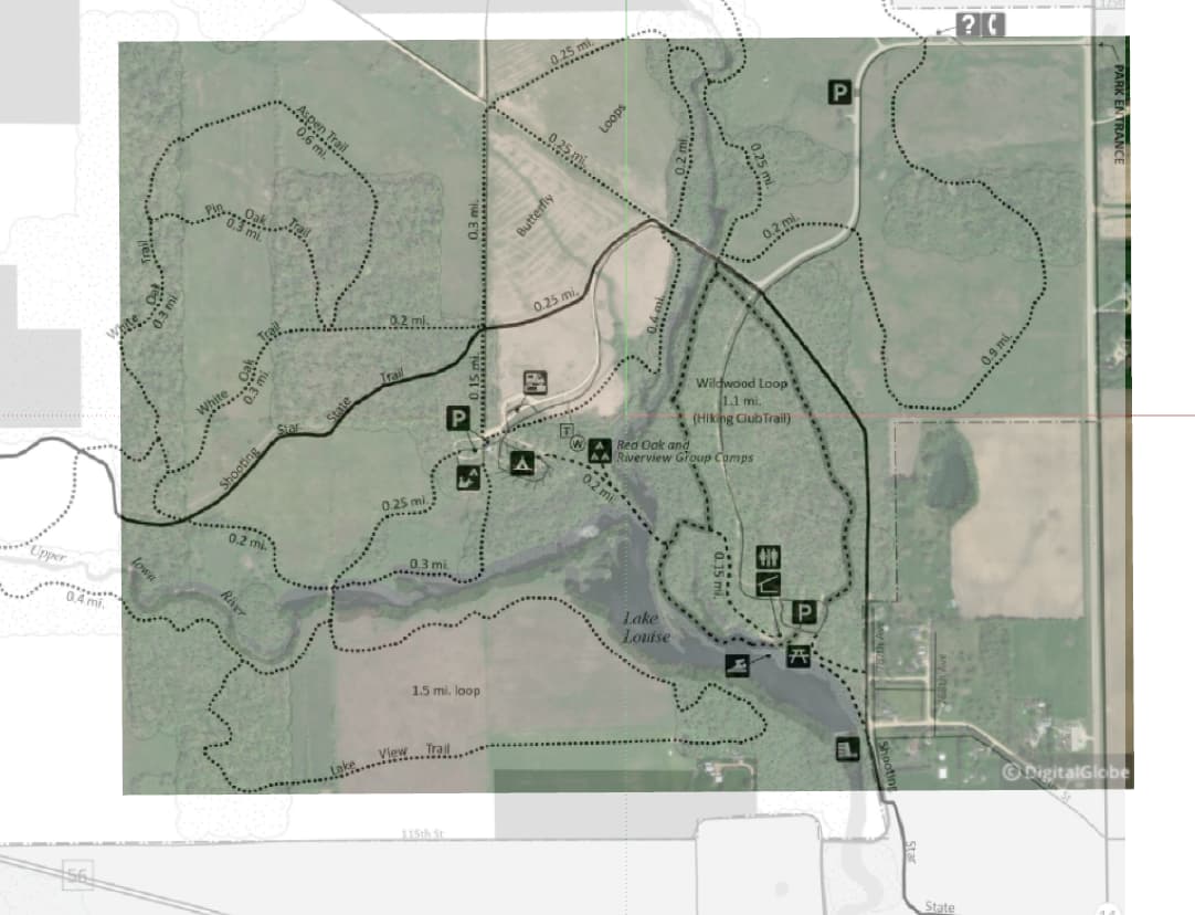
Nice of you to use some imagery from my back yard! I actually was working with a section of the lake a little further south…
Several things here: Initially my import window did not work, no buttons. This seems to be part of the second monitor problems I’ve documented in previous posts. I moved it to my primary (notebook screen) and the functions work again. This led to my post, thinking this was not working anymore.
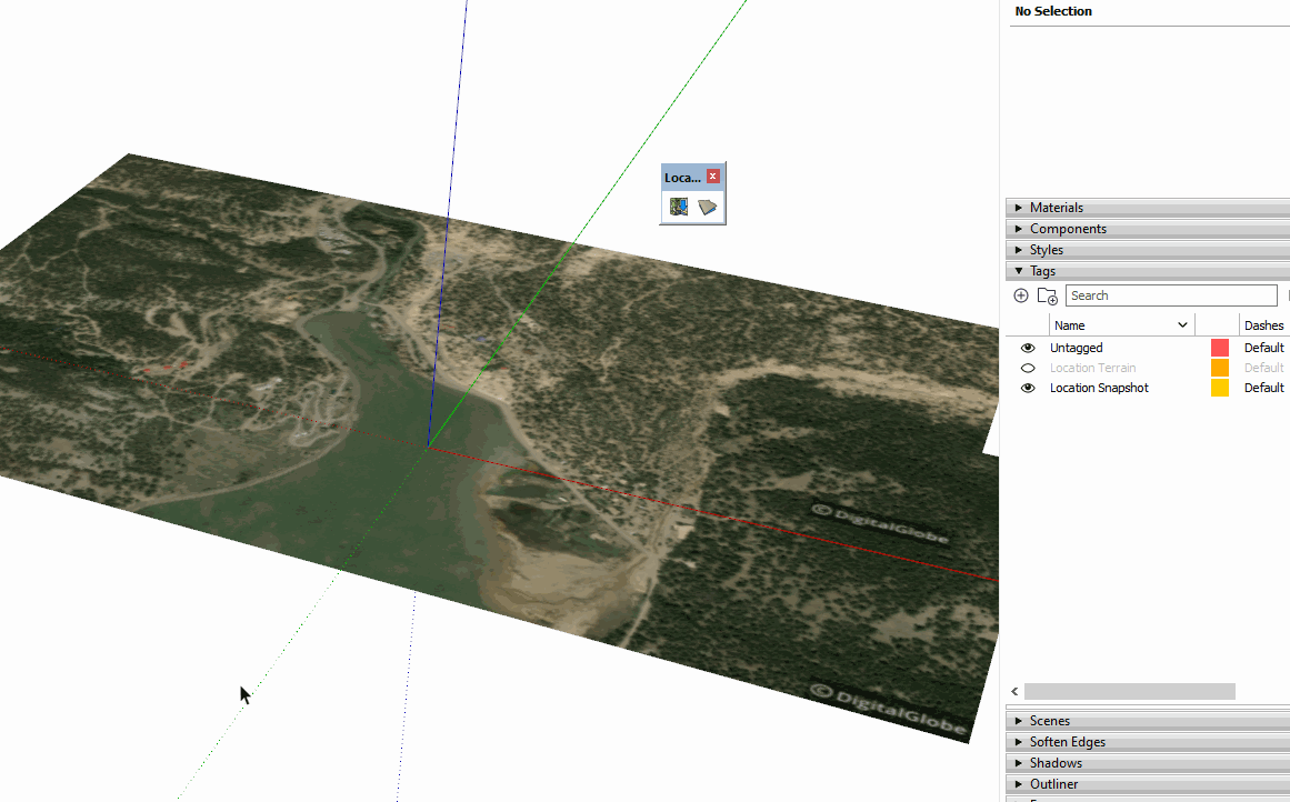
When I import I don’t get the elevation data that you show. Also my Location Terrain and Location Snapshots are locked. I’ve used DigiGlobe source at 17 and 18 zoom levels.
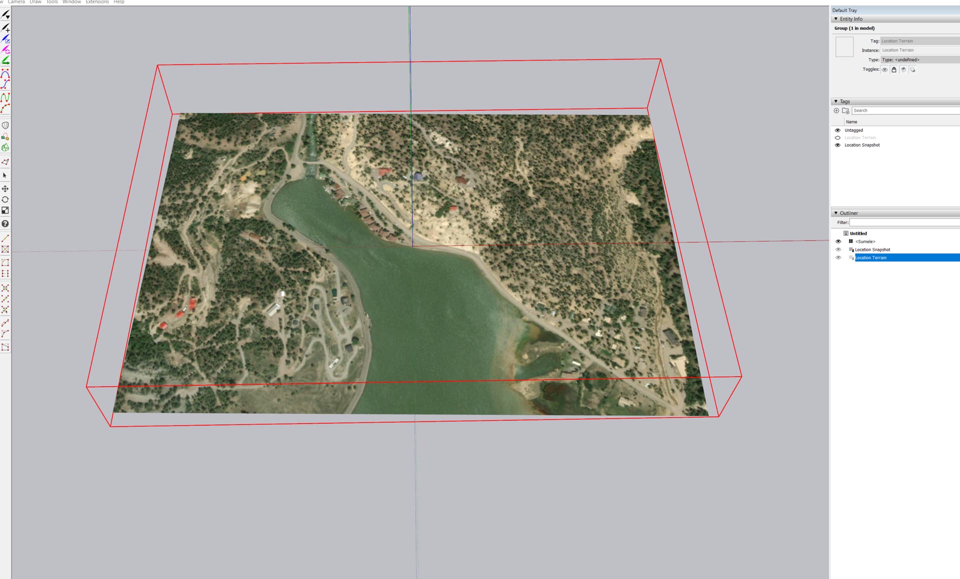
What happens if you turn on the visibility for the Terrain tag?

It’s turned off in the Tags panel so selecting the Terrain group in Outliner won’t make it show.
As an alternative you could display the Location toolbar and toggle between visible location tags.
that did it. My Bad. I didn’t notice the tags. Not used to paying a lot of attention to Tags on things I import (seems unusual that they have them). Also not sure why these come in locked. But got it figured out. Thanks for the quick and helpful response.
Location Snapshot and Location Terrain have always come in with different layers, now tags. It’s been that way since the feature was introduced. That made it easy to have the toolbar toggle thing. You could also add a keyboard shortcut for it.
Of course the flat version is easier to do modeling on and some users won’t really need the terrain anyway.
As for them being locked, I think that was intended to prevent them from being moved/rotated after being imported. If you move the terrain or snapshot group you screw up the geo-location. At least you can unlock them to modify them if you want but it’s not likely you’d do it by accident.
Thanks for the clarification. One more question. I’ve got the imported terrain from DigiGlobe and an image (group:TrailandGradeImage) of some planning. I’ve overlayed/scaled them so I can compare the planning with the imported terrain. These are on the same plane (or almost) If I set on X-ray I can see them both. What I’d really like is to have the imported terrain image be 100% and then set the % on the TrailandGradeImage to get a good overlay. I can’t seem to find a way to set the transparency of one group/object vs another. ???
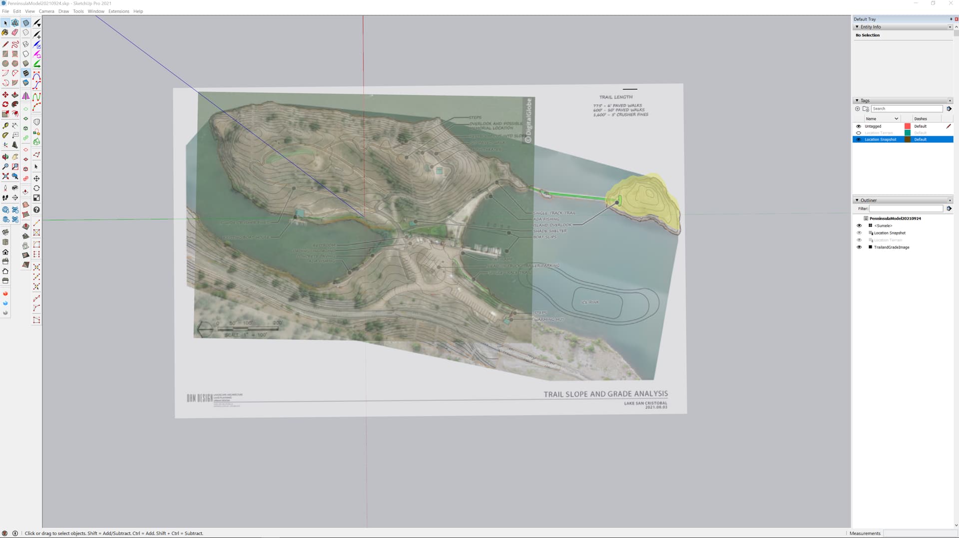
You could use an image editor to make the planning image a PNG with some transparency. Import it as an image and leave it that way. Alternatively, if you use the image as a texture/material, you could edit it in the Materials panel and reduce its opacity. You might use X-ray while lining things up but then you can turn it off.
Here’s a quickie example of the first option. I probably should have made the imported map image a little more transparent in the image editor.
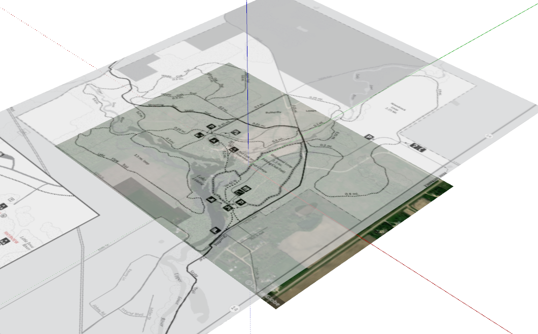
Edit: Here I have made the image a little more transparent.