Site Plan- Curving 3D Path help

Hi-

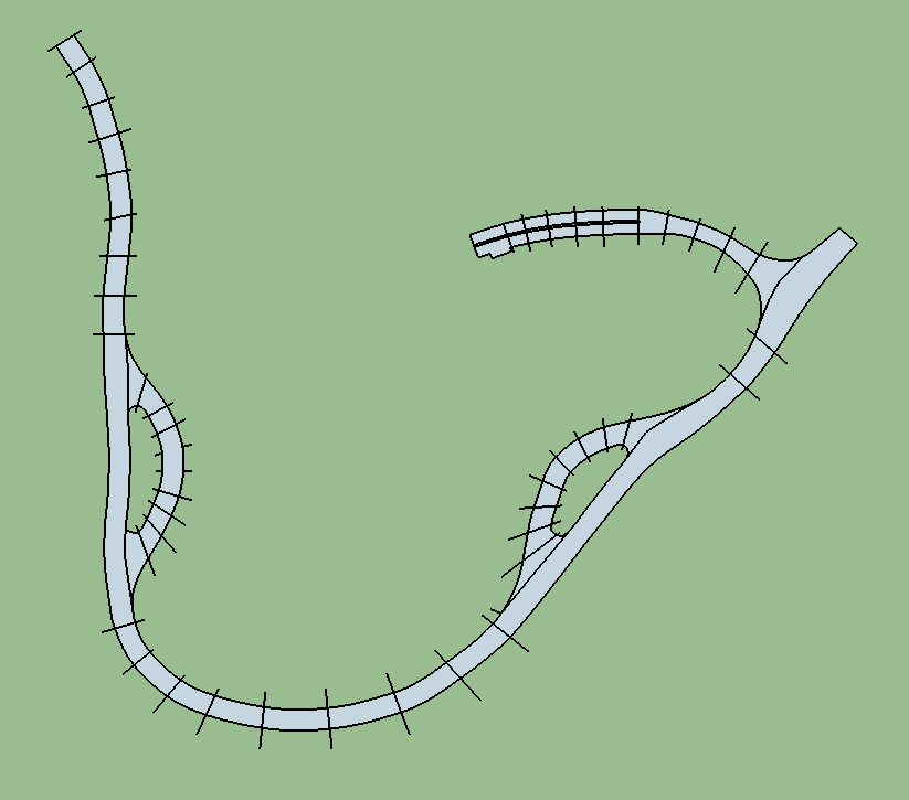
I am modelling a site plan for school with the following path and elevations as noted. How can I make the path smoothly change heights? I don’t think the CLF Shape Bender plugin will help me here, unless I do it in segments.

Could I do a terrain and then drape the path outline over it? Or a better way?

Thanks,

Chris

I’m not as advanced as others here so someone else may have a better way, but this is how I’d do it:

  1. Create the terrain you want with those elevations. (model the edges and then use from contours).
  2. Position the road above the terrain where you want it, and then drape it onto the terrain.

EDIT: Alternative to step 1, if the google topo data is accurate enough, you could load that geo location into the model and drape onto that.

That would be the way to do it. I suggest you use the aptly named Drape tool.

-Gully

Many people don’t realise you can use a bunch of vertical edges set to the specific elevations to create the terrain with sandbox draw tools.

5 Likes

Neat trick! I had no idea.

Thanks guys!

I didn’t know about using vertical lines- that’s cool.

Here’s what I’m doing now:

I’ll put the oversized contours at the right elevations, make terrain out of it, and then drape the path outline over it. I don’t see how I can use vertical lines in this case as the path has a lot of segments and I want to keep the ‘resolution’ of the curves if that makes any sense.

Good idea?

Seems like the right idea, but I think you can do it with a lot less lines. Let SU calculate the elevation between your pre-defined elevations on the drawing. With that many lines you’re going to have to manually adjust the height of the in-between lines.

Yeah, your way should work fine, I was just pointing out that you could pinpoint the elevations that way and make the terrain then drape.

If I reduce the amount of lines, is there a way to make the curves smooth? Would the add detail tool do that?

you can smooth after using the soften/smooth tool afterwards.

EDIT: You could also use the Smoove Tool after on the terrain to give it a more natural look.

Are the spot elevations on your path the only source of topographic data? Have you captured the area from Google Earth? Do you have USGS survey data?

-Gully

The soften/smooth commands together impart a smooth appearance to the edges making up contoured surfaces. The surface will still appear “bumpy” if defined by too few points, and underneath the cosmetic smoothing, the geometry remains low-res and rough.

-Gully

Yes, low-res geometry is what I want to avoid.

The terrain is all in my head :wink: It’s a design project; I’m doing a rhino exhibit. Lots of irregular shapes.

I’ll play around with it and see what works best. Thanks all!

Chris

Did you try importing the location from Google Earth and enabling the elevation to show? You could always paint it something else. Try using the Drape tool on that geometry.

Box, creating a terrain with vertical lines is great. Thank you for the tip!!!
I don’t think many people know it.