I am trying out this tool but after the first few times of using it, I am not getting any Satellite View just a brown surface.
Any chance you have the face style set to something other than Shade with Textures?
No, that was the first thing I checked

This is what I am getting now. At first there was terrain

But all of my recent attempts are brown
Share the .skip file with the brown. What’s the location?

Your location is not for Kentucky. You have the longitude as 84.5 East. For Kentucky it should be west. The imagery you are getting is correct for the location based on the lat/lon numbers.
This is what the native Geo-Location imagery shows.
And the Map after zooming out.

Changing the E to W brings up this imagery. I expect you’d get the same if you set OOB to import the right part of the planet.

1 Like

So how do I put the location in correctly for what is shown on this map
I must have done something different for the one that turned out alright, but I do not know what I did
I don’t use OOB but I just edited the longitude manually in Model and changed the E to W. Then when I went to use the Add Location feature it went to the area shown above. Somewhere you must be able to change that in OOB. If you actually have the longitude set to West and the extension is shifting it to East, you need to contact the author and have them fix it.
I do not think my trouble is in OOB. I think the trouble is how I am manually adding the geo-location to SketchUp. When I just manually changed the E to a W in SketchUp I got the right location and Satellite View. I guess if this happens again I will just have to try changing the direction manually and see if it makes a difference.
If you put in E instead of W in the first place, you were entering it incorrectly for the location you want. OOB was just doing what you told it you want. Except for an island or two in the Aleutian chain all of the US is West longitude, also represented as a negative number. Positive longitude values would be east. Maybe that’s where you screwed up.
1 Like
I just put in the number Google Maps showed me. SketchUp added the E. Now that I know I will put it in also. The 84 was a negative number. Maybe that is where I got it right before. Maybe I didn’t add the -84 this time. Thanks for your help and explanation
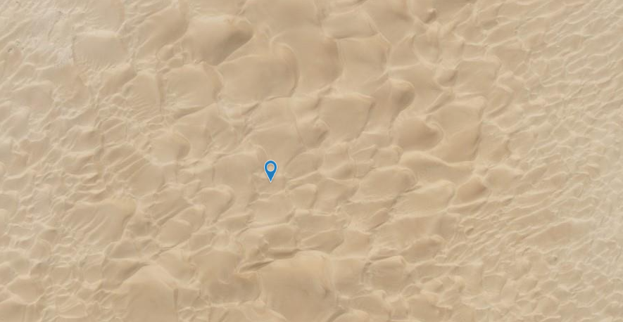
I understand the Taklamakan desert was smaller when the Silk Road went through it.
1 Like
You get that same popup menu in Google Maps. If you select the first entry it will copy that to your clipboard. Then you can use SketchUp’s Add Location, and paste in what Google gave you. You could also have typed in 38.48924,-84.50878 to get the right location.
But without imagery in SketchUp 2017 Make. Or maybe without anything?
Ha! Good point. I went to paste 38.48924,-84.50878 into SketchUp 2017, and I’m sure I heard it laughing at me…
1 Like