I was asked to add some additional imagery to a site model for which we had already imported the hi-res immediate site, and the available Nearmap imagery has now gone backwards in time from the images we had already imported (our current imagery shows a completed building and site, and the new imagery I’m trying to import has the same building under construction).
I would hope that Nearmap has the latest and greatest, and I don’t understand why it would go backwards in time from imagery that it already has. Anything I can do to work around this?
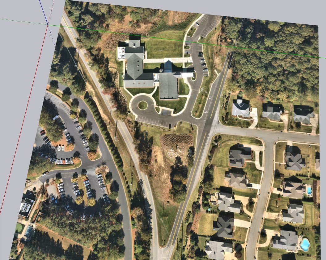
I went ahead and purchased the imagery, and the more recent aerial imagery actually imported. So, just a matter of the preview and actual image not being the same.
So the low res Digital Globe imagery shown in the Geo-Location window is older than the hi res NearMap imagery? Interesting. Could be a nice thing if they at matched at least regarding date.