I’m trying to geo-locate a property using Digital Globe imagery - the first time I’ve ever done that. It’s in a new developer’s site in Nova Scotia, not far from East Uniacke on the shore of the Meek Arm of Long Lake.
I’ve been able to get a good match both from the lat/long coordinates of the centre of the property lot, and from more detailed local maps from the developer which match the local lake shoreline and location snapshot image very well.
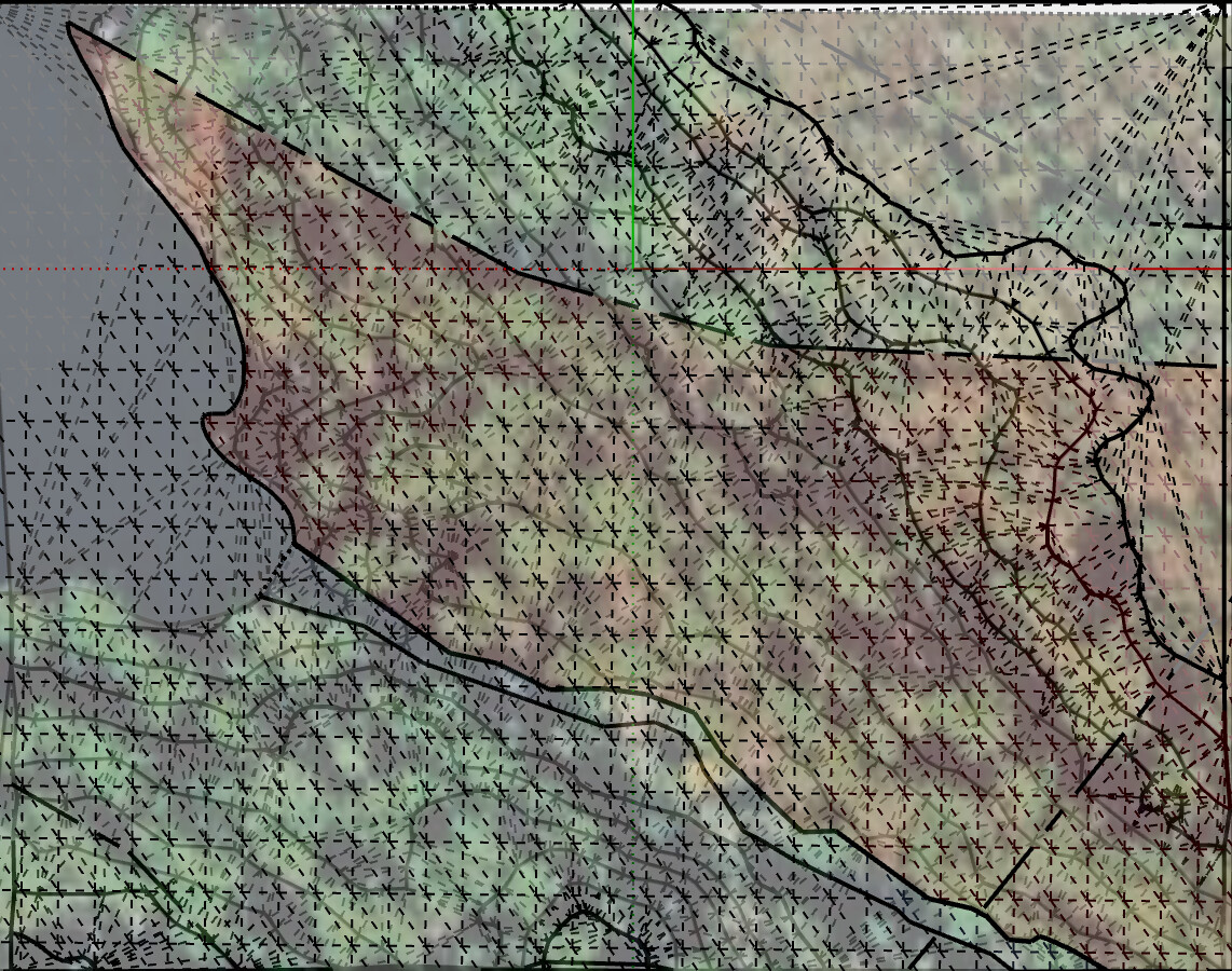
But the the terrain surface and the terrain images from Digital Globe (from the same import) show at least half of the lake within the image well above the lake level - like this:

I’ve put a reference plane into the model, and moved it up and down to represent what should be level (water) and it clearly isn’t level in the terrain - the plain grey overlays the terrain grid.
The bay, and the creek which empty into it, are both shown far above the water level. The outlet of the creek (which runs from lower right to the the lake top left in the second image) into the supposedly level lake is almost 33’ (~10m) above the lake level.
On the other hand, a detailed contour map from the developer matches the image of the terrain, and the shoreline in the image to within a foot or so.
Is it usual for the imagery and the terrain surface from Digital Globe to be so far out of register?

