dwg raw data test.skp (440.5 KB)
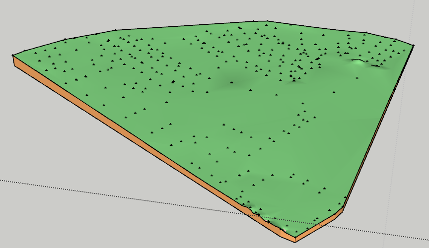
The upload of raw data from DWG makes the SET-LEVEL-POINTS as individual cross components. Easy enough to explode these but Toposhaper doesn’t recognise them as they are not guide points.
Sandbox does recognise them but the terrain is a little clunky. I prefer the quad based terrain generated from toposhaper
Is there a way of changing these crosses to a guide point in a bus action whilst maintaining there height topography ?
thanks for your help. I can see a way to create terrain from sandbox but I prefer the terrain created by toposhaper which needs guidepoints
Insert into this component a guide point and delete those two edges, then explode the components and make a group of all and you’ll be able to use Fredo TopoShaper.

I used TIG’s CenterPoint All to place guidepoints at the centers of all of the selected + components then ran Toposhaper. I didn’t modify the spot height components which you still might want as is.
1 Like
really helpful information. Thanks
Great solution. plugin works really well. Thanks so much
1 Like

Hi, I’m wondering how to reduce the “tiny sharp lines” as noted by Toposhaper. Is increasing the smoothness the key here? @DaveR