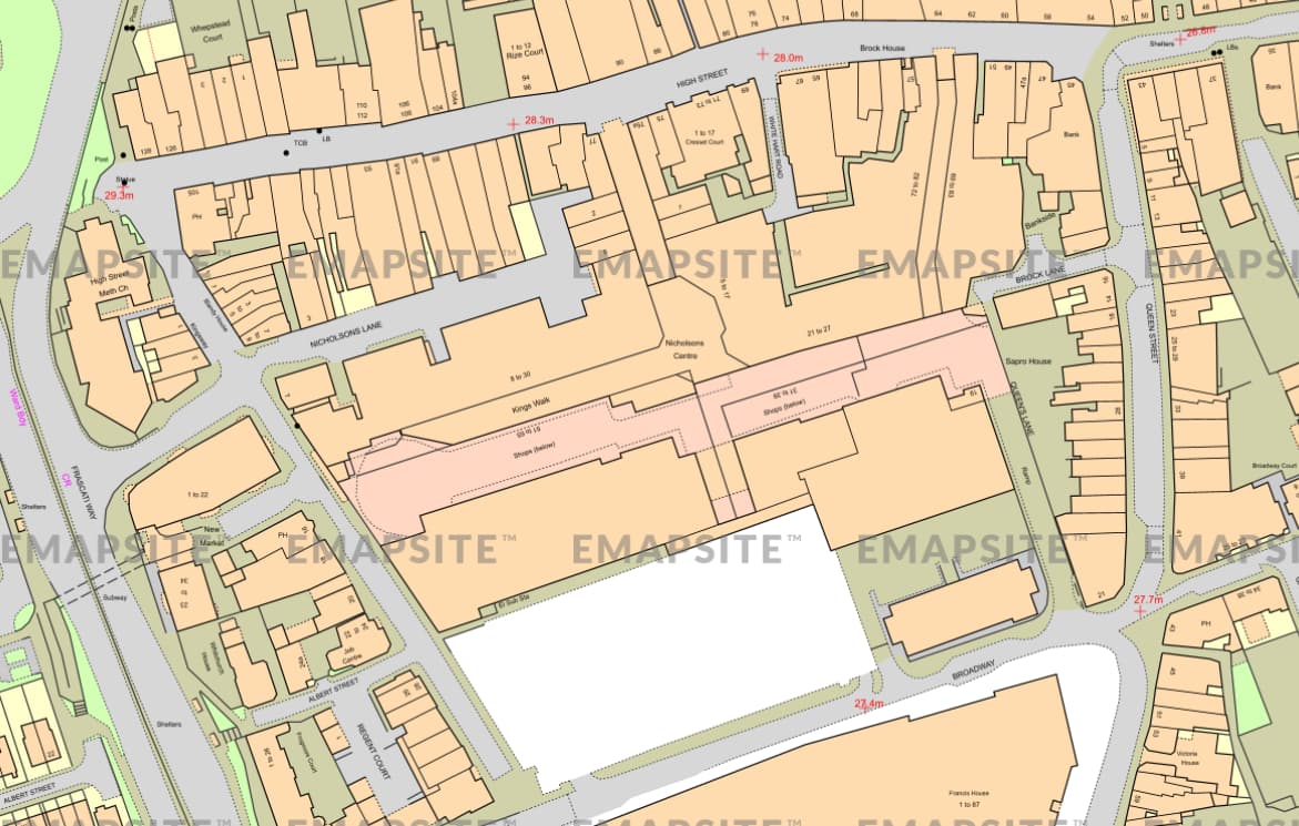
that’s one element of it. though even if the parcels were separated by black lines mine would still be missing features and details that I don’t know how to obtain. As far as I’m aware they are both using the same OS map data.
If it is the texts (streetnames and housenumbers) that are not being exported to dxf, i have the same issue for years and never found a solution for that. As far as i found out, those texts are not vectorized, but images, and can not be exported to a dxf file.
I don’t know if building numbers ever show, is this the same dataset as the first image it looks closer to the mastermap dataset which has more details.
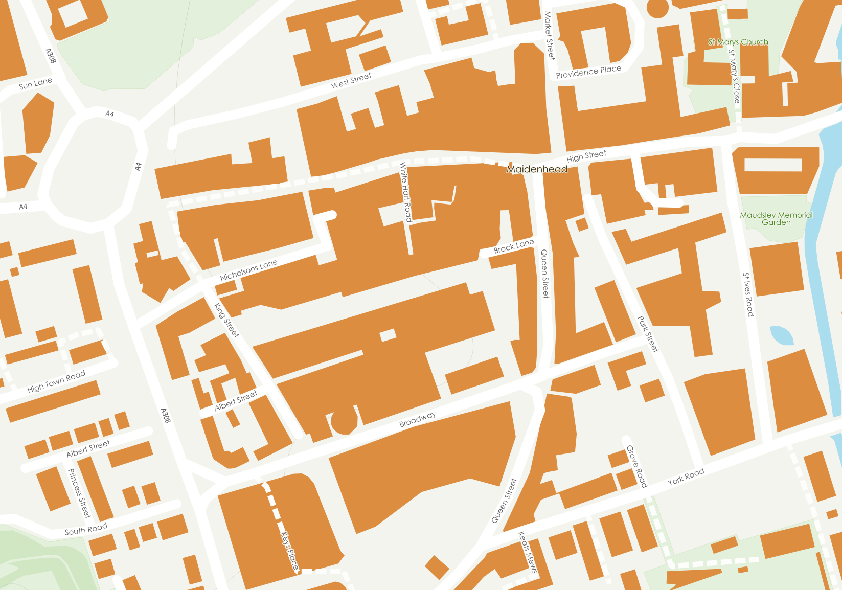
But I’m not having much luck with stylesheets either, as I start adding them in, things start disappearing.
Here is my attempt at just matching the overall look and feel of your reference. I can confirm the dataset fm the link you provided does not include any spot elevations or house numbers. EMapStite, the reference you’re trying to match is a provider that I’m sure does or adds something in addition to the raw dataset - therefore you won’t be able to match 1:1. That’s likely why they’re in business, to do this work for you.
To match the Style settings, all you have to do is play with the layer stack, see my example for ordering so things show correctly. Then play with the colors of the shape layers, and stroke widths of the line layers. Note you can’t get things like curb radii as all we’re working with here is road centerlines. Again, that information must be have been added from another dataset or drawn in.