After some quick testing Im really happy with the coverage and the resolution, and the fact that Nearmap is still available as an option. I haven’t tested the authographic projection or the terrain.
So far, two thumbs up from me!
Just one issue though - what’s with the TrimbleMaps logos everywhere??!
They don’t look very professional in a design presentation (and they closely resemble the colour we use for wetlands and watercourses).
I’m going to have to photoshop them out.
If you need to include a logo for legal reasons, then please make it a transparent watermark or similar so it doesnt conflict with technical symbology.
Looks great! But I have a UI request: The selection box is still centered on the entire view (which itself is partially behind the boxes on the right). This can hide it in some situations (see image). How about you center it on the visible portion of the view instead.
What I like to do is take the aerial image into photoshop and:
create a nice, lightened greyscale version to serve as an underlay.
create a coloured version that matches my intended style (lighter tone, greener grass, bluer water).
edit out features (for example if Im working on a site with existing buildings or road to be demolished, I will replace them with grass).
Unfortunately the images come through as many individual tiles so Im not able to quickly/simply open that image in Photoshop/etc and update & replace it. It’s a bit of a process to do this with so many tiles.
Further, all the images are named the same (Location Snapshot.jpg) - would be nice if they were named Location Tile A1, A2, B1, B2).
Overall the imagery in my location comes out quite dark and a bit “drab” looking. This occurs with most satellite aerials from every provider. Thus editing is always part of my workflow.
This update did not include changes to the topography data we use. Sorry if that was not clear. It was also a common request in the survey and something we know is important to improve.
It’s really helpful to see where the high resolution import does not work for Bing. Right now we do not know from the provider how good the resolution will be based on location. We’re working with the provider to get more information on locations affected and looking at ways to make it clearer in the UI what to expect.
Thanks for the feedback on the TrimbleMAPS watermark. We have toned it down substantially so hopefully it’s more acceptable now!
Also there were a few bugs in the iPad version relating to gripping the box which are also resolved.
Some feedback after running a few tests.
At first I checked in Marseille, south of France, it is a major city (second in the country), yet :
no nearmap. as far as I can tell, no nearmap anywhere in Europe.
digital globe photos are 3 years old. I used building sites to date that. According to the state of completion of a road near me, I’d say early 2019
bing has a better quality (that’s not hard), but the photos are at least 5 years old. The same road was not even in the early processes, and I can see a building I attended the grand opening of still under construction (so maximum, late 2017)
then I started checking various places, places I’ve lived across Europe, places I’ve worked on and… yeah.
Digital globe is often a couple year old, and bing is often worse - albeit in a better quality - the most recent place I’ve found seems to be Paris, with photos from summer of 2019.
So yeah, it’s really cool that you added another satellite map provider. And maybe in the US it’s good quality. But in Europe, as far as I can say, it’s a chocolate teapot.
And I understand that you don’t want do deal with all the national cartography societies (the IGN, equivalent of the USGS in France has really good quality stuff), and there is a solution.
there is a map company with good quality, quite recent photos that you can zoom on.
It’s google map.
I’ll keep an eye on your solution, but I’ll also keep using a combination of Cadmapper (get openstreetmap data in 2D/3D) + ggmap screenshots assembled, scaled and placed on top if really needed.
——
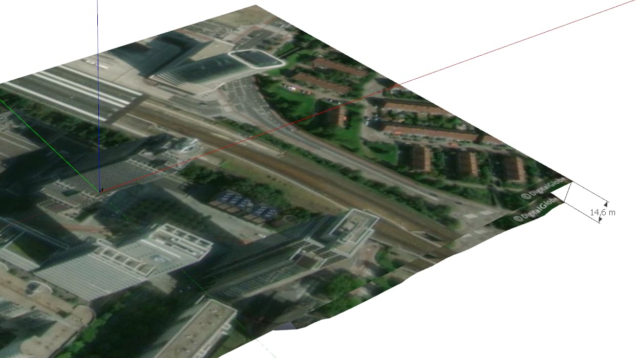
Terrain is still average, but that’s because it’s calculated on a territorial scale, not an urban one. So airport, bridges can look funky, and areas with high building can alter the topography. It’s not a sketchup problem, it’s a “scanning topography from space” problem
Yeah, same in france, they are even lidar-scanning the entire country right now.
I wonder how difficult it would be to adapt the current tool to allow grabbing another source. I know, skp devs probably don’t want to spend the next year adapting the tool to all “local” solutions, but…
I mean, look at what Switzerland is working on. Bern, Basel and Zurich in full 3d with cadastral information on the buildings. it’s years ahead of digital globe at this point.
It’s really a shame about google, I remember reading about it when they sold skp, really a shame. Especially when web-developers are able to pay for google map API and usage in websites and applications.
I clicked on the link that says “Discover how to keep using Nearmap imagery” and lead me to this conversation, so how will we still be able to use Nearmap after it’s no longer a sketchup provider?
Hi Folks,
We have been able to remove the Trimble maps watermark from Add Location downloads so it should not be shown anymore.
The usage copyright information has been collated in one place and can now be found here.
Thanks!
been using the new Add Location maps heaps lately and it’s been working well.
Just one issue still remains for me…and it’s a really importantone.
The images are coming through as a series of small tiles.
For urban planning work it’s common to have large-scale models (1mile or so) and these tiles become a challenge.
cannot edit the image to make it lighter or darker or transparent, within sketchup…each tile image has to be edited individually.
cannot easily paint the images onto a 3d surface - the material wraps & repeats in a strange manner.
cannot easily export material for editing (eg adding bump map for rendering) - have to apply the settings 100 times.
I’m guessing there are reasons for tiling the images (download performance, gpu performance on ■■■■ computers, etc) burt can there be an option or override to go back to having just one large image??
When adding additional imagery, the new tiles don’t come through in the same position as the previous set; The best approach would be to to the original image by enlarging it and essentially just making it a sngle objevt that is larger - because now, we end up with multiple overlapping images of different shapes and boundaries.
It doesnt’ appear that the boundary of the Selection box saves between when I first use the Add Location tool and then wehn I use it next - it’s not a very accurate or reliable section from what i can tell.
Updates to this post based on feedback. Bing imagery not importing at highest resolution for some locations
Trimble Maps have now completed work that helps prevent the Bing “no map tile” problem that was happening at highest resolution in some areas.
In these areas (where the highest resolution is not available) we will automatically use the best resolution available. This means you can keep the resolution at the highest setting if you want without having to worry about map tiles not coming in.
We would really appreciate knowing if you see this problem importing map tiles now. Trimble watermarks
As stated below these have also been removed.