I’m having trouble combining sections of a map into one solid so that I can export it as one STL file to a CNC machine. How can I make these solids one solid? I’ve tried a few combinations of tools but can’t make it stick.
4.skp (15.8 MB)
What version of SketchUp are you using? What operating system? Your profile is just nonsense.
Sketchup Pro 2021, Windows 10
How about fixing your profile then? That information is important in assisting you.
How did you attempt to make the union?
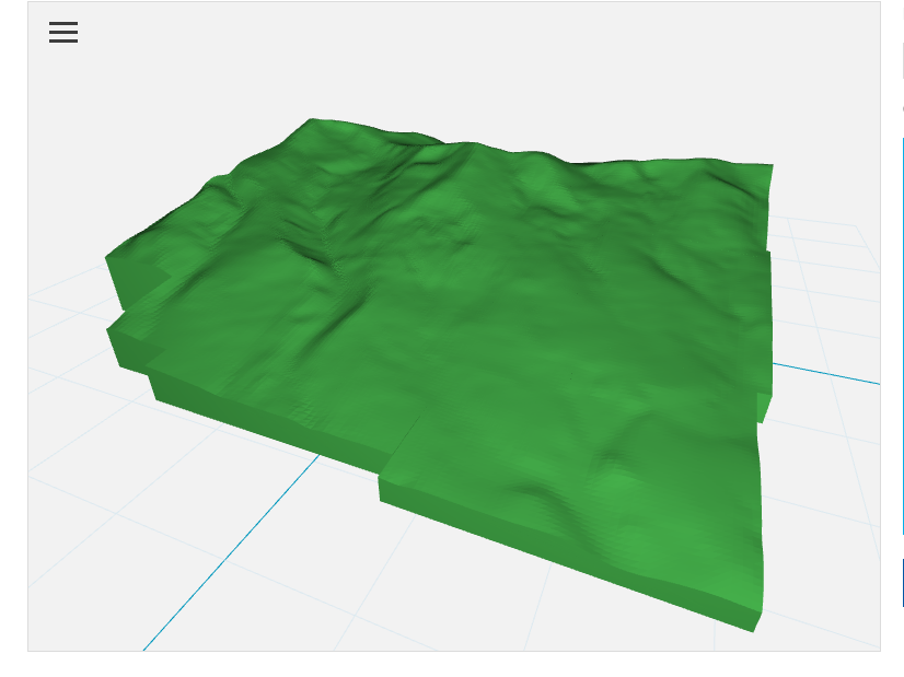
Do this look like it would be reasonable? I cut the bottom off flat. How large do you want to print this thing?
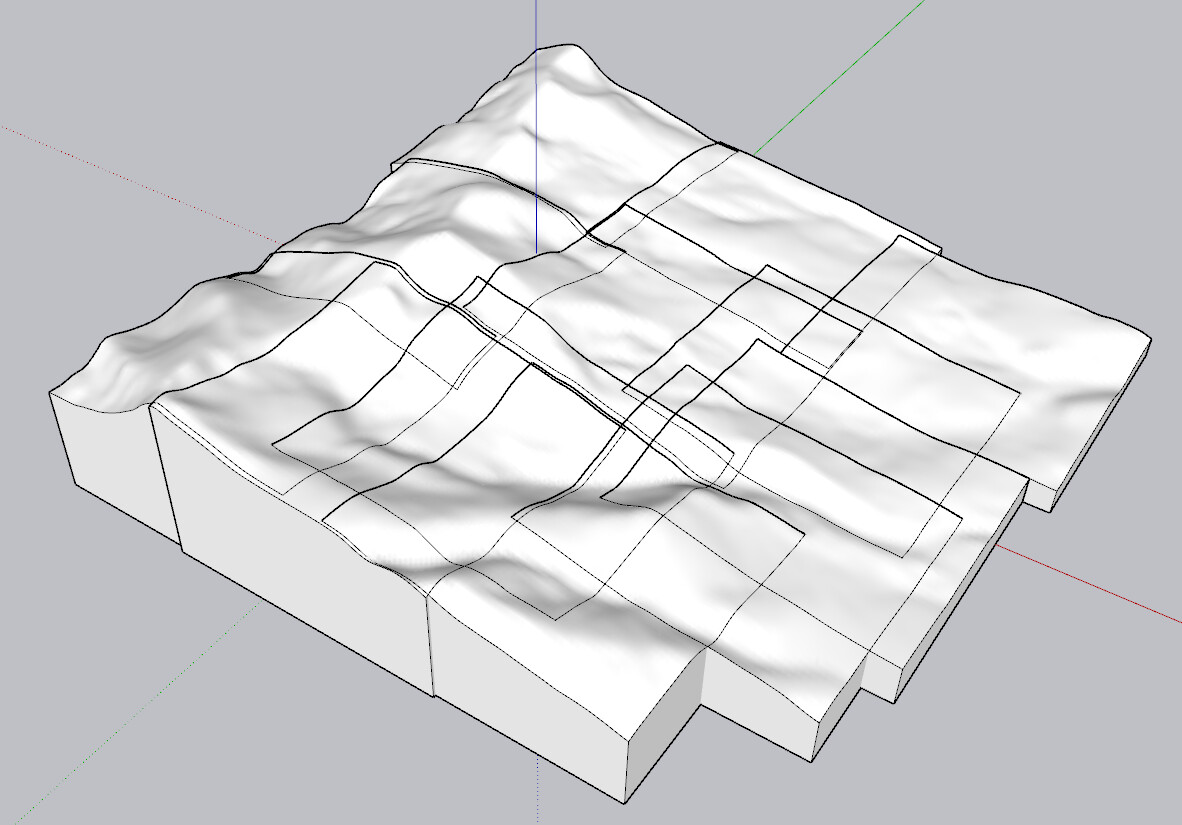
FWIW, since each terrain group is solid, you shouldn’t need to union them to be able to 3D print the thing. I left them as solids but deleted the unnecessary nested group levels. I also deleted the location snap shots so I could actually work on the model without the camera clipping.
That looks very reasonable. This will be used to direct a CNC router that will be cutting a piece of wood. I can try to upload that to the router’s program as is, I didn’t know if it would try to cut into the piece where every snapshot joins together so I was trying to make it one piece. I tried selecting multiple sections and using the union function, but the unioned sections were no longer solid. I also tried using the outer shell function but the same thing.
Can you send me this file? I want to try to use this to program the CNC
Here you go. See how you get on with this. 3D printers generally wouldn’t have a problem with this as multiple solid components. I’m not sure what your CNC router will do with it, though.
4.stl (2.9 MB)
Max height in this is 6 in. Minimum is about 0.6 in.

Thanks! I’ll let you know how it goes
1 Like