OK
-
I have the site plan

-
I know what I want to build and I can measure where it has been placed on-site, because excavation has already begun on it
-
Now I need help to place this structure on my site plan


Any ideas?
L Shed - v2 .skp (884.0 KB)
OK
I have the site plan ![]()
I know what I want to build and I can measure where it has been placed on-site, because excavation has already begun on it ![]()
Now I need help to place this structure on my site plan ![]()
Any ideas?
L Shed - v2 .skp (884.0 KB)
Are you trying to locate it in plan? Usually I have a 2D plan drawing hovering above a site model to locate what needs to happen in plan view and then dropping or draping things on the model below.
Or are you trying to fit the building into the grade? Usually locate what happens in plan first and then figure out what has to happen with the grade.
Yes, except we started digging before we started to draw the 3d model. I’m just trying to put what we have already begun building in the correct location in the model.
I need to go outside and measure it, and I have three times in two different ways. All three were totally wrong.
I need some help with measuring techniques.
I could explain the methods I attempted. But I’m not very fast at typing. This took me over 7 minutes.
I there’s a known thing like where the house is, measure two distances from each corner and then swing arcs to find the intersection. That’s done all the time to locate trees, septic etc.
Can I get an illustration?
Pretty please ![]()
Sorry, I had to run out, so I’m not at my desk till later.
Let’s say you laser 2 corners of the to-be placed building from 2 corners of a known building. You get 2 measurements per point (corner). You then draw circles from your known corners with the radius being your measurement. The intersection of the circles is the location of your corner.
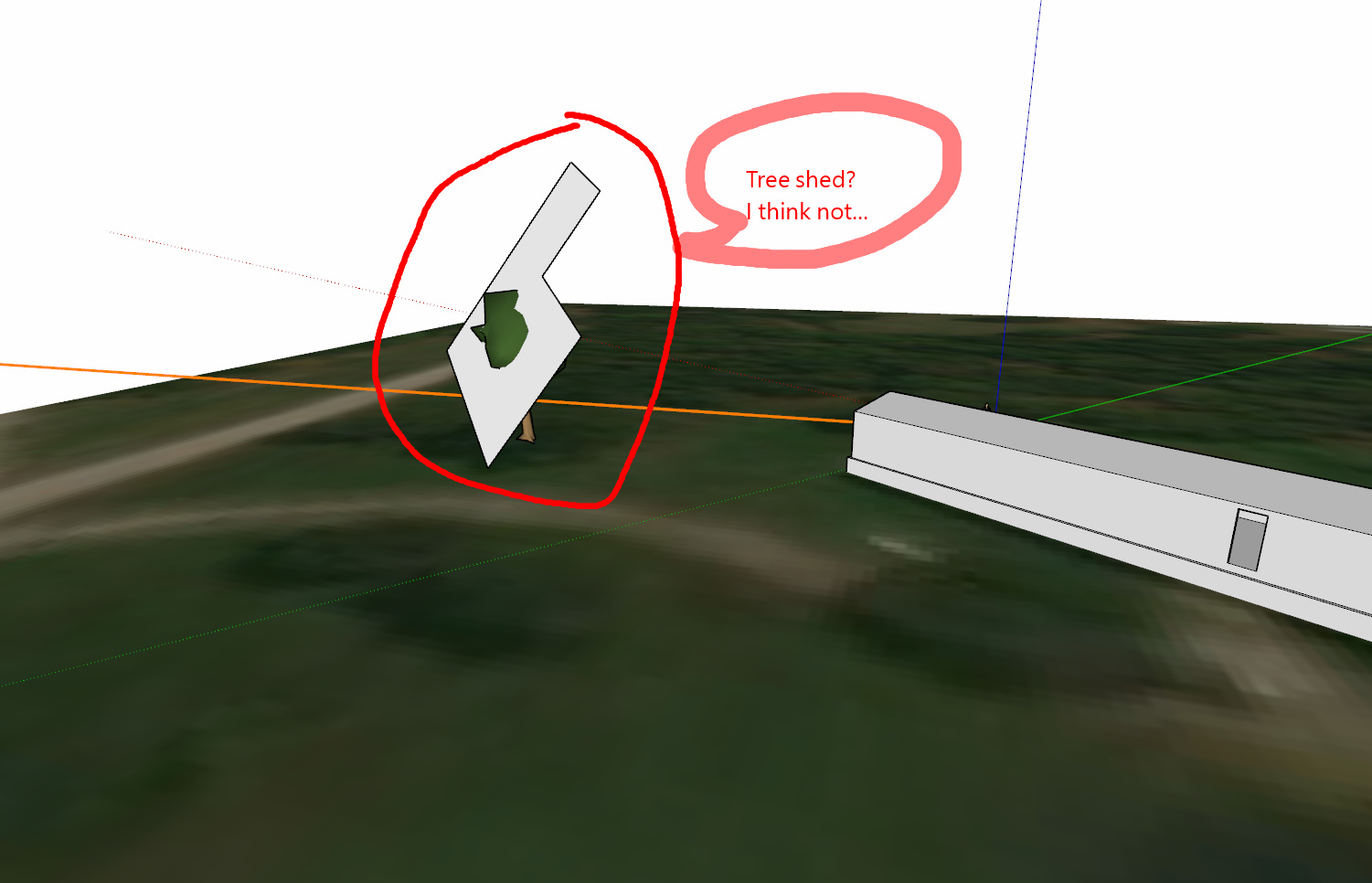
Here’s an example using ‘trees’ from 2 corners of a ‘building’:
I did not graduate highschool. Algebra 1 was the last math class I passed before I dropped out.
This is pretty fly everybody! Exactly what I needed.
Thank you three for the explanations. Since I already have all the measurements I’ll need, this will be quick and easy!
That topic name though ..
Not sure which one to mark as the solution. I didn’t understand RT. I could see what he was talking about thanks to Box, but I didn’t understand how to execute it until 3Dx made his post.
![]()
@Box and @3DxJFD drew what I was going to, but did it better with animation. I see as built septic plans done this way all the time, and they’re done by guys in the field who aren’t draftsman; they’re backhoe operators.
Footnote: SketchUp, at least with just native tools, isn’t really accurate when intersecting arcs, but for this task it’s probably good enough. There are some plugins for SU if it needs to be more accurate.
recomendations?
I would try, for instance, Didier Bur’s Trilateration plugin to construct the points (Extension Warehouse, free) It draws, for instance, triangles based on the side lengths - no need to intersect arches.
If you can get a ‘square’ / perpendicular measurement from a known structure you can get a right triangle. That’s the exact point you want.
So, you get your ‘square’ measurement off of a wall to the structure. Measure the distance from your square measurement start point to a corner (measurement start point). You probably do something like that for layouts all the time.
The end of the ‘square’ measurement is a point that can be used to solve the problem of using ‘circles’ that are actually segments, like I showed earlier (which the other posters pointed out aren’t exact).
I made a quick video showing both ways. It’s redundant and messy but shows another way to do the layout.