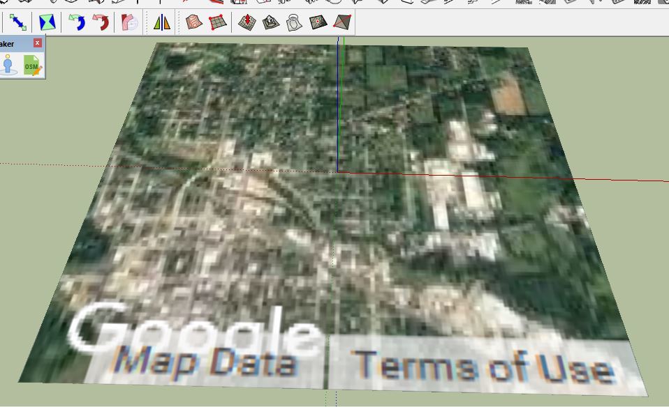
Hi. I’m having problems with getting geolocation imagery. When I the aerial map opens I get an error message saying my browser is not supported. When I select an area and bring in the aerial it’s very blurry. This has been covered before, such as here, but I haven’t found a solution yet. I’m using Pro 16 on Windows 10. Here are some screenshots:
Here’s the message

Here’s the result if I don’t dismiss the message

Here’s the result if I do dismiss the message